Izapa
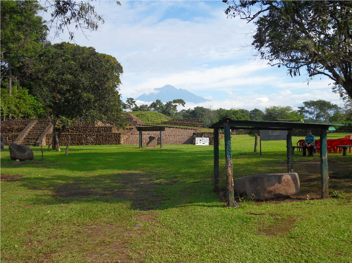
Located in the State of Chiapas close to the Guatemala border below the Tacaná Volcano, the site is privately owned and is leased to the National Institute of History and Anthropology, thus enabling visitor free access to the ruins.
Although it covers an area of some 200 hectares and consists of 13 plazas, most of the site has still to be uncovered and renovated, which gives it a mistaken impression of its being of minor importance. However, the first human settlement in Izapa began somewhere around 1500 to 1250 BC with the inhabitants living by agriculture and the abundance of wild fruits and coca. Izapa was inhabited throughout the Pre-classic and into the Post-classic Period and is thought by some to have been a connective link between the Olmec and Maya cultures whilst some people suggest that it was the place of origin for the Maya calendar; all of which establish its importance within the history of the region.
It reached the height of its power between 300 and 50 BC, when contact with Olmec culture disappeared and Izapa rose as a site in its own right. At its height it is believed that Izapa had a population of some 10,000 people, but it seems that it was abandoned by the 13th century.
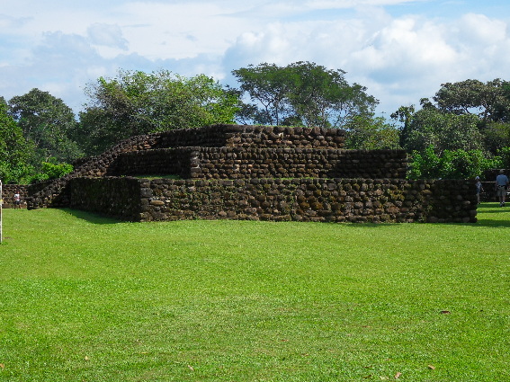
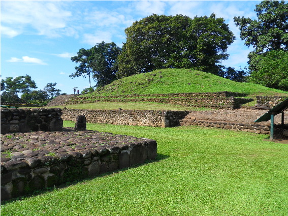
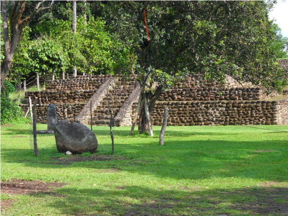
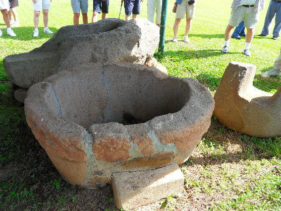
Although the site consists of a number of sectors, only three can be visited, which amounts to under 2% of the total area. The site contains up to 130 mounds, of which only half have been restored. The ruins that can be seen are pyramids, sculptured plazas and squares and a ball court, all of which visitors are free to wander over. An interesting point about Izapa is the number of monuments which include stele, which do not contain glyphs, thus indicating the absence of a writing system. Some of the stele found at the site remain on display, as does a throne and altar. Other artefacts including stele and a variety of pottery can be seen at a small museum in the nearby town of Tapachula.
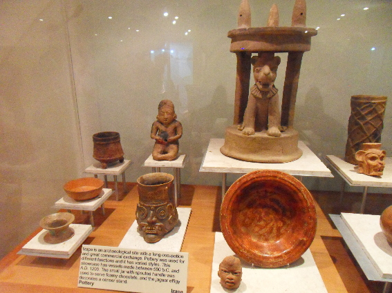
Items from the site in near-by Museum
To see more photographs and take a virtual tour of the site click on the photoshow below.
